Storm Chase Details
Miles Logged: 814
States Chased: TX, LA
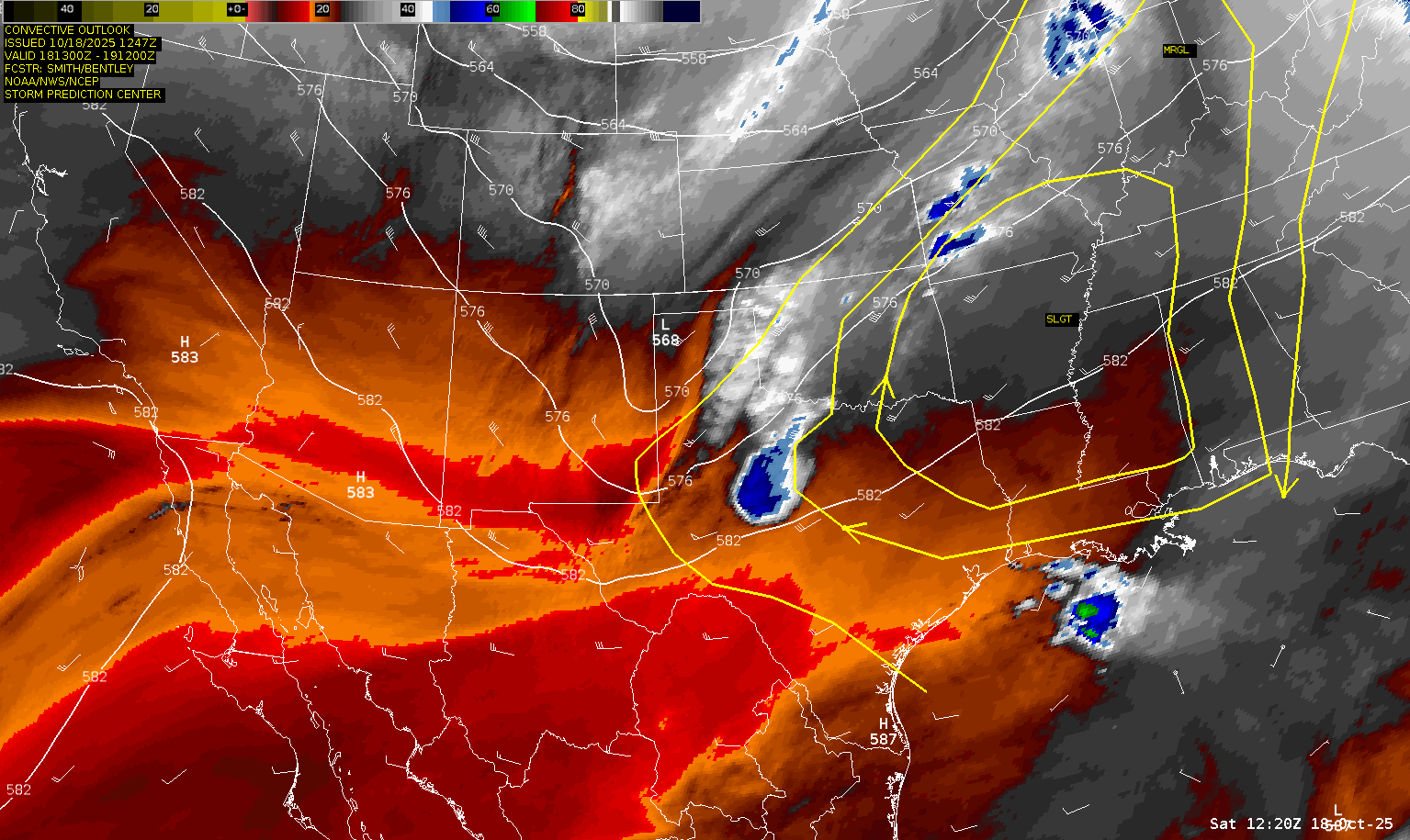
Severe Risks: SPC Outlooks
Severe Reports: Storm Reports
A long shot fall day would fall short of expectations with a lot of sloppy storms in East Texas. Would end up getting Cajun food in Shreveport for dinner before the long drive home.
Forecast
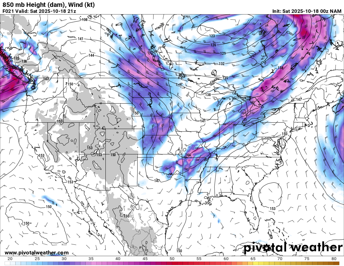
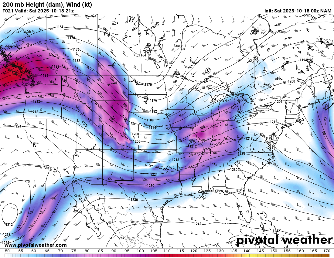
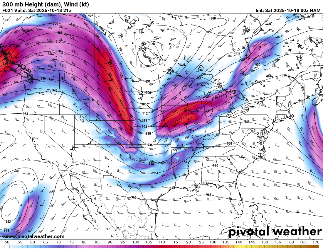
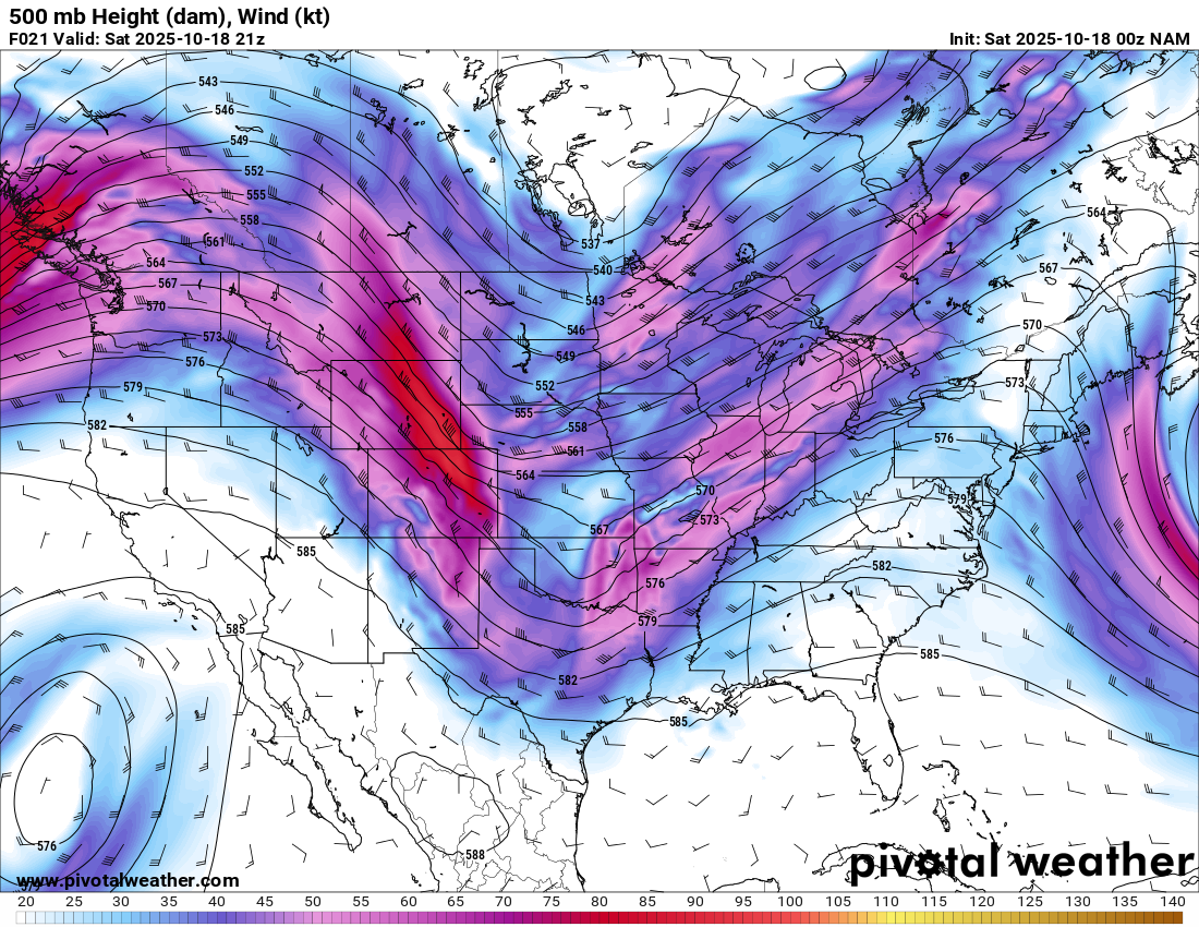
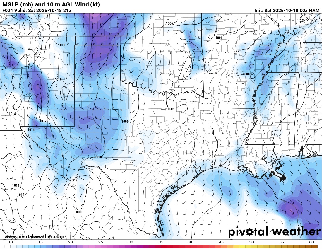
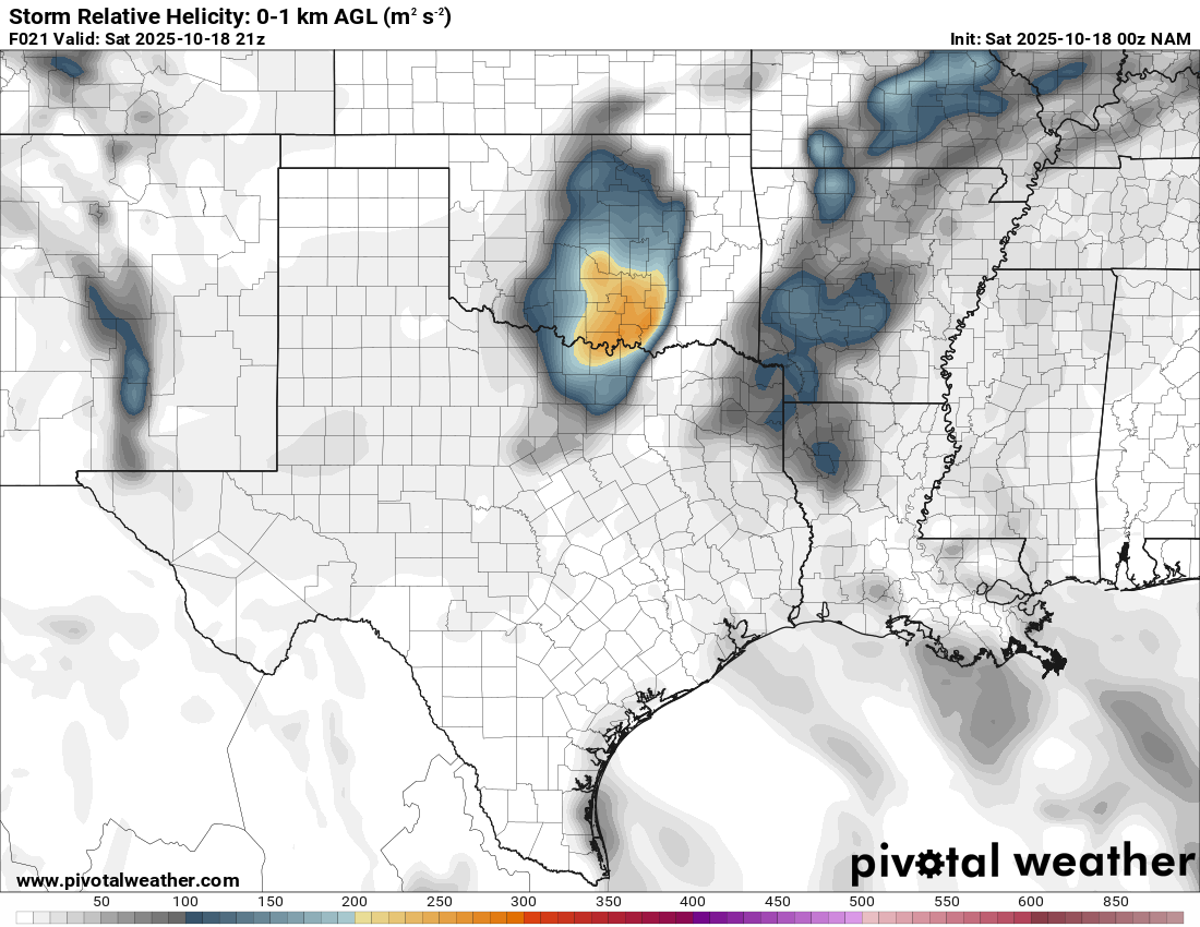
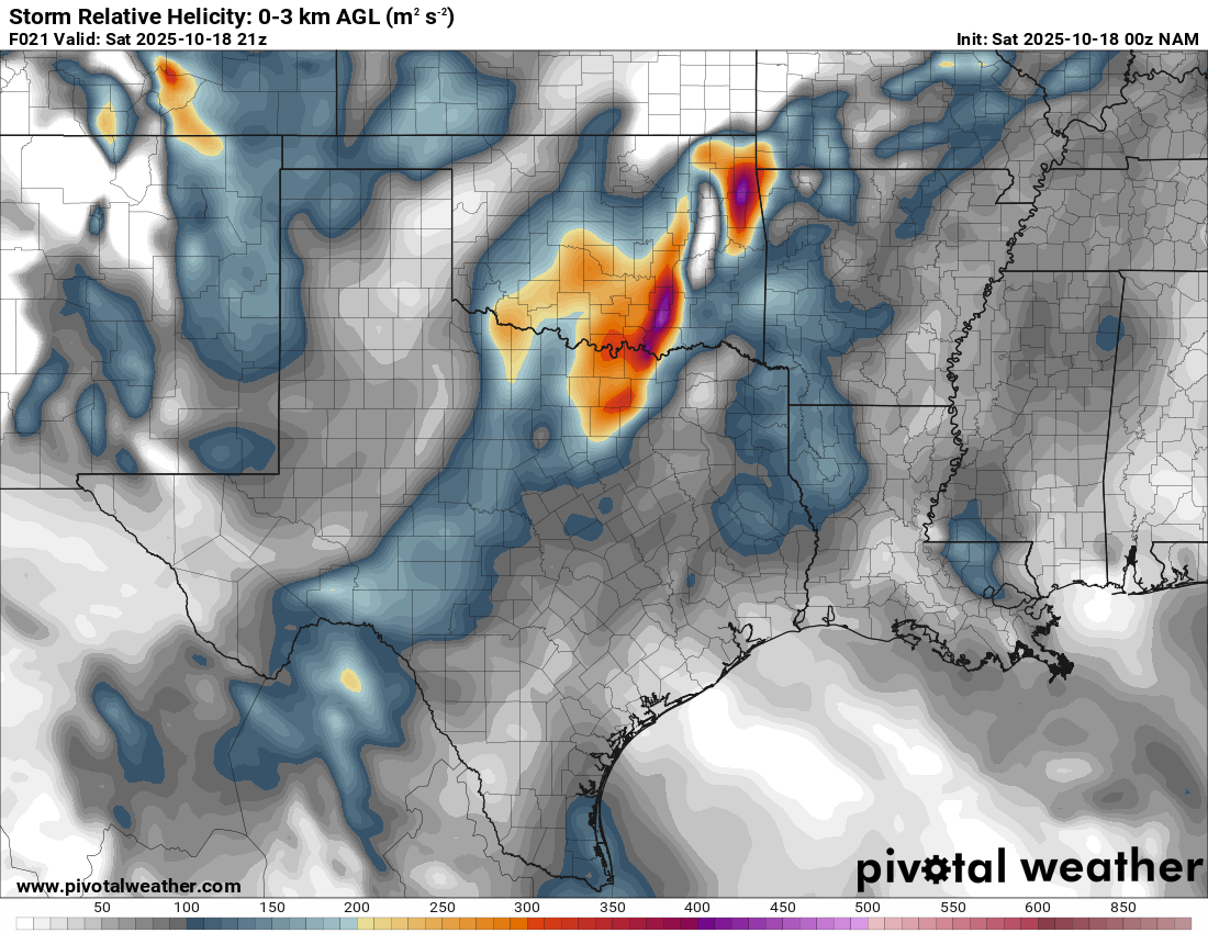
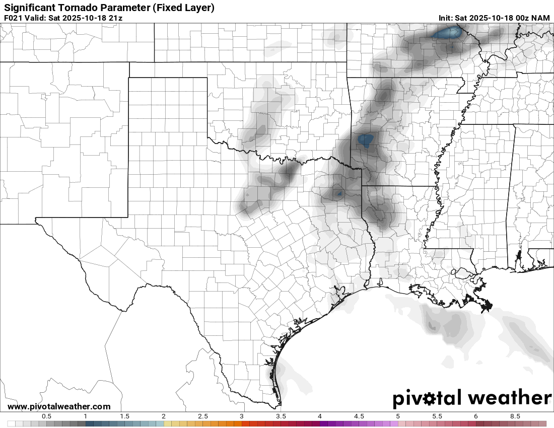
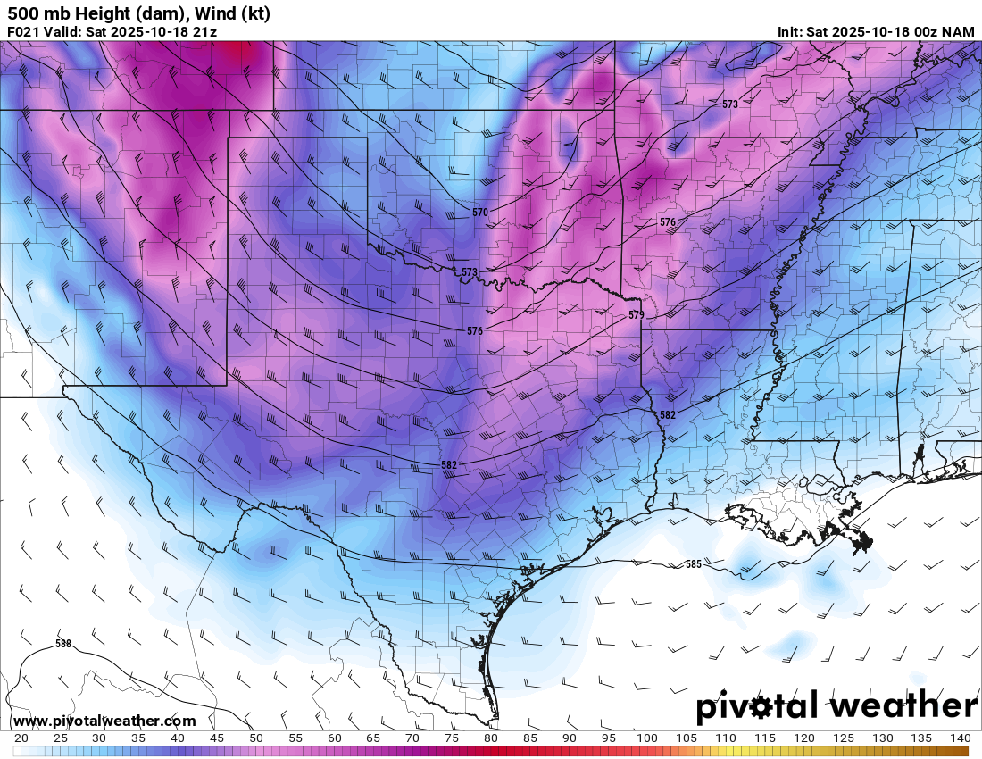
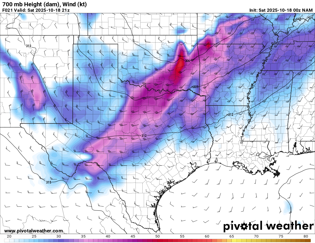
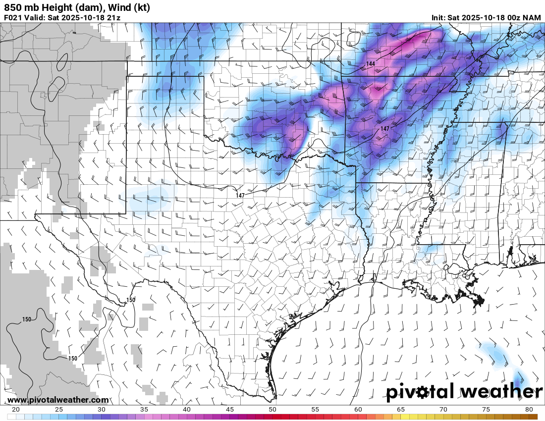
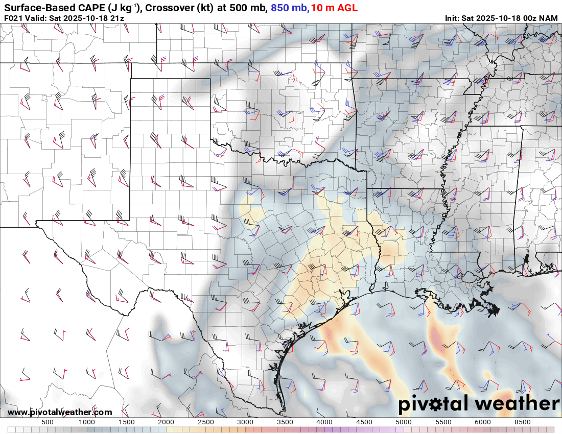
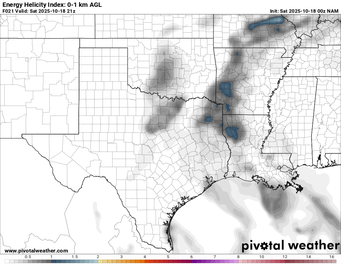
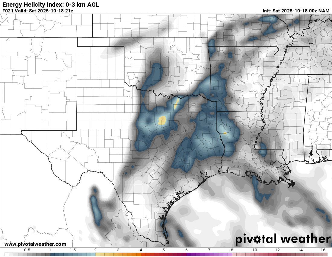
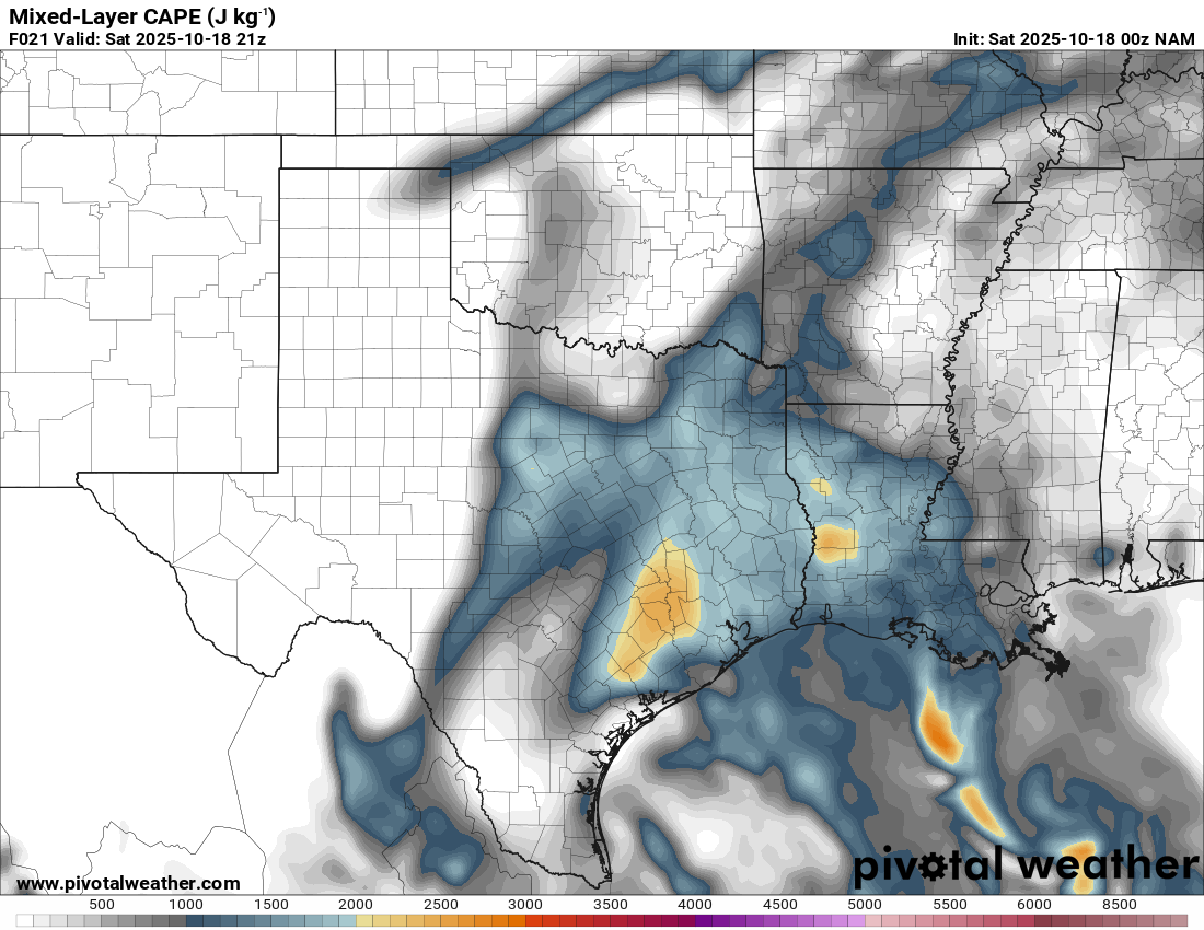
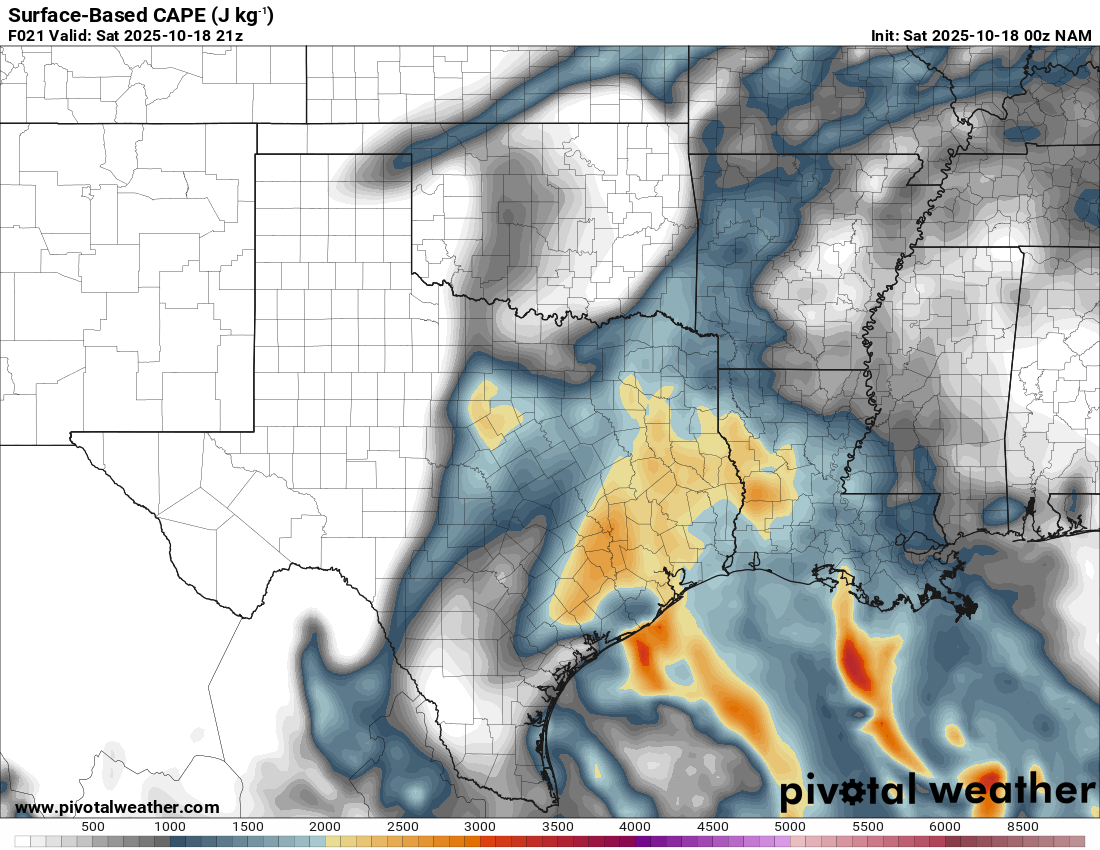
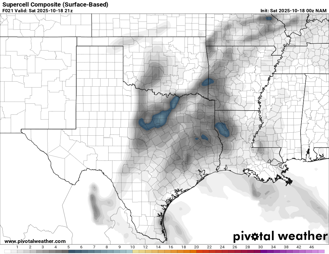
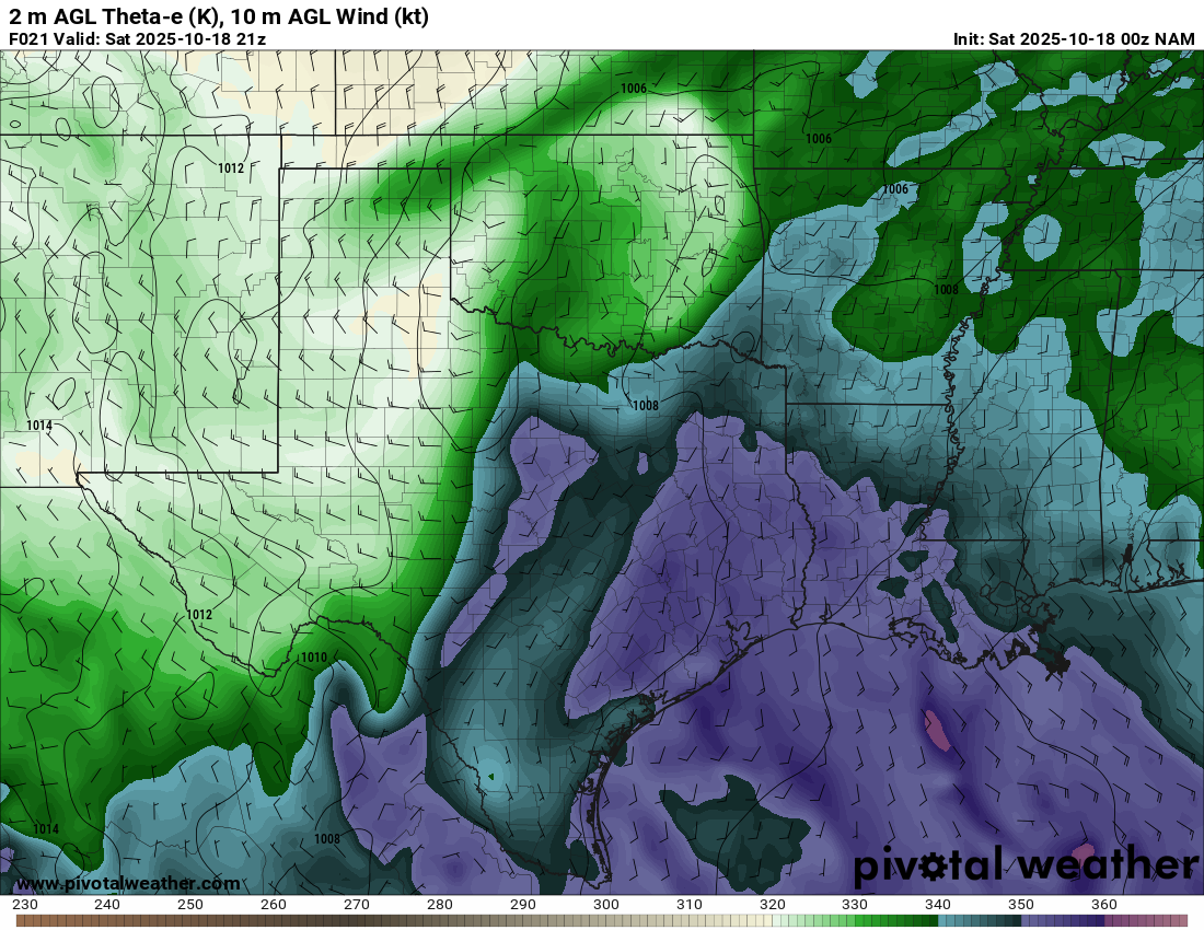
The first real shot of severe weather in the plains since the beginning of Fall. Models would show a linear slopfest for days in advance, and I had mostly bought into that model guidance. However, the NAM started showing some decent tornado potential in Southeast Oklahoma and Northeast Texas in the late afternoon on Saturday.
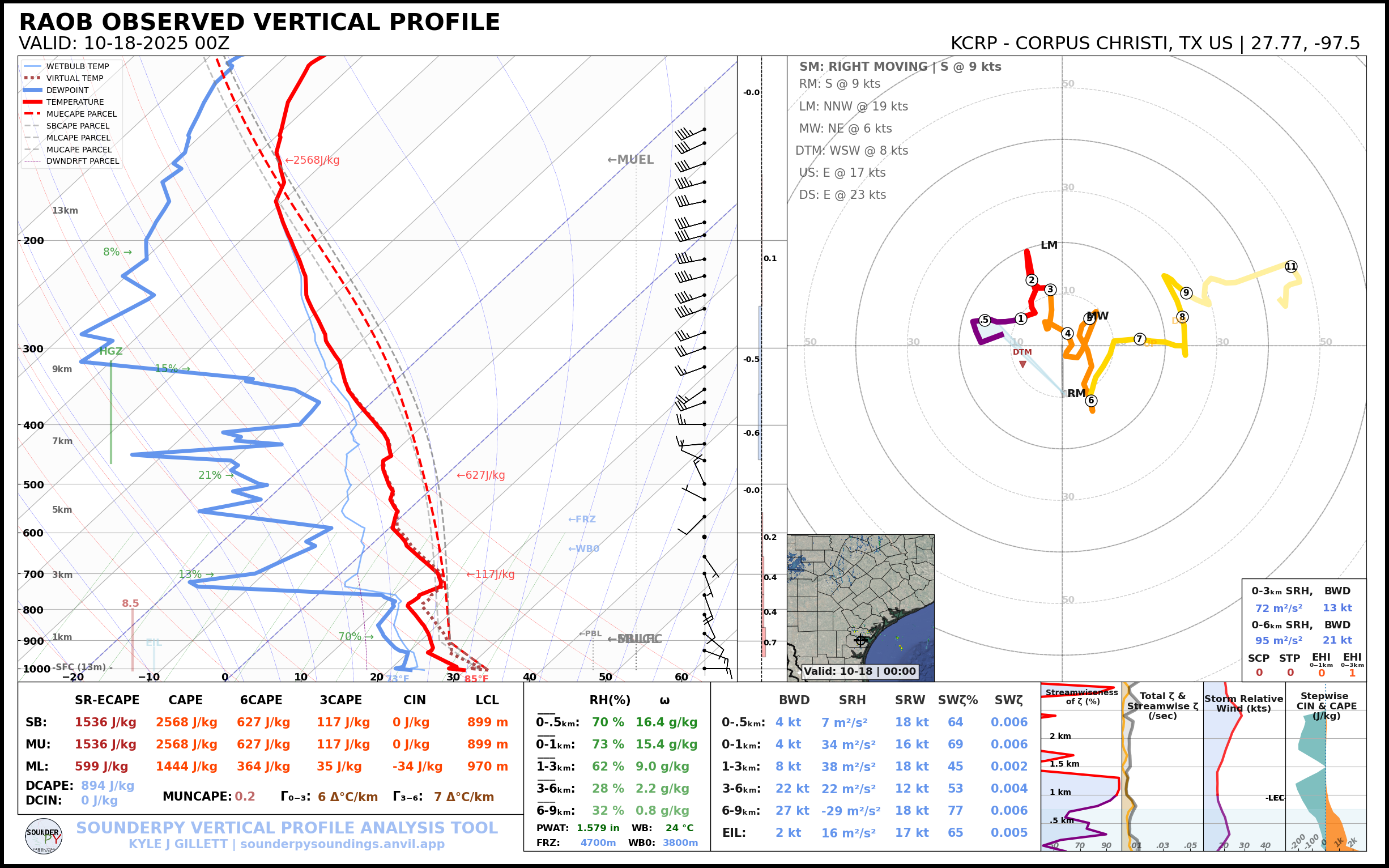
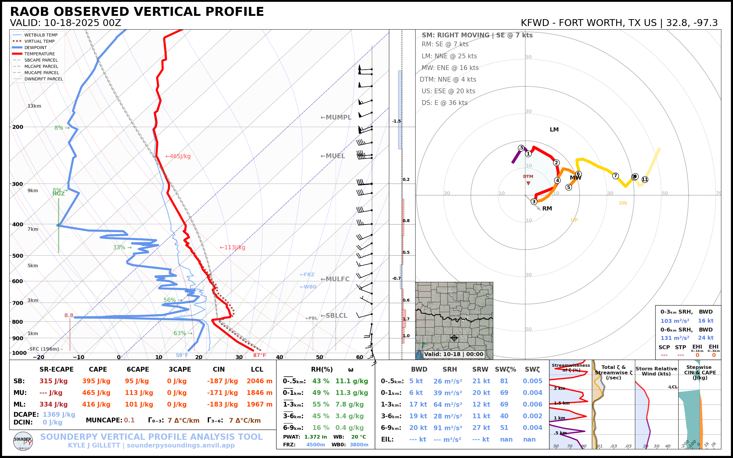
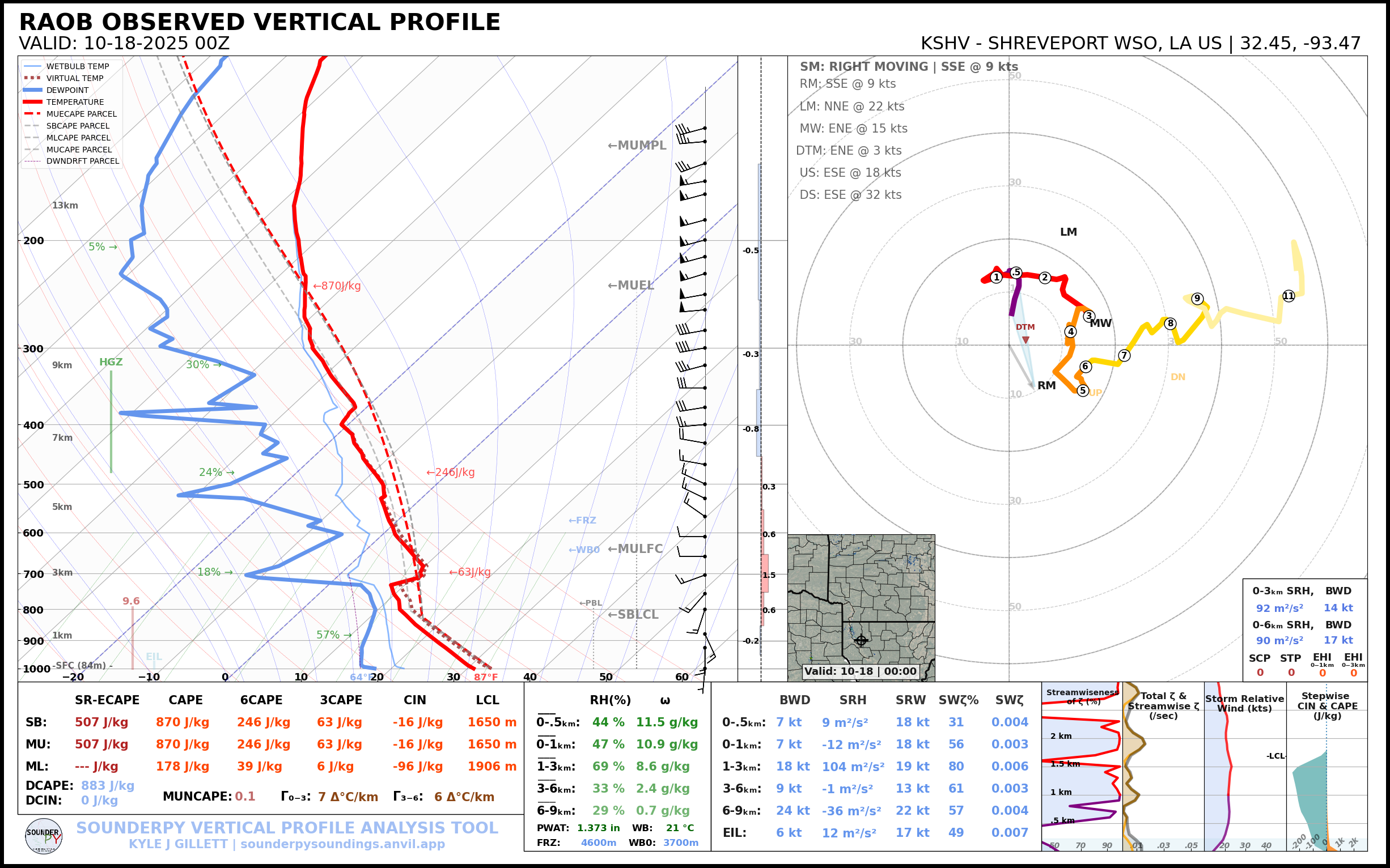
Friday Night 00Z/7pm CDT Observed Upper Air Soundings
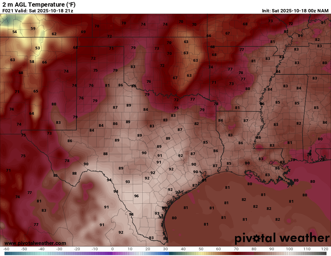
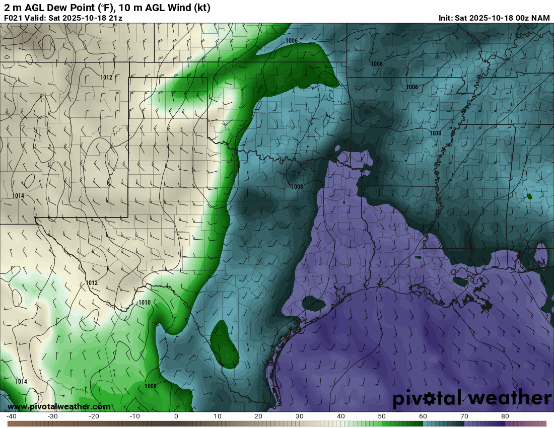
Moisture return seemed probable, with moisture evident on the 00Z soundings Friday evening. Corpus had mixing ratios of over 15, with good low level mixing ratios over 10 at Shreveport, Fort Worth and Lake Charles. I usually dislike chasing that area, but had luck there earlier in the season.

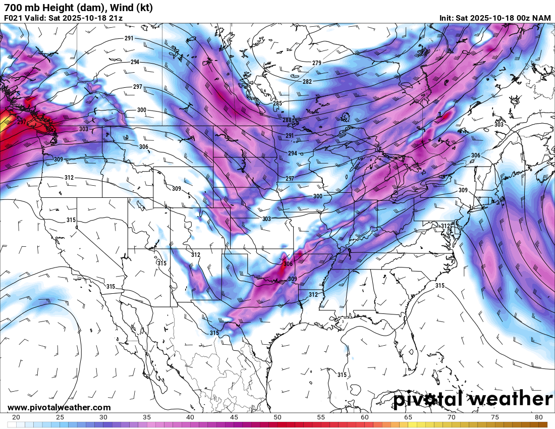
00Z NAM Friday Evening
I noticed a lot of similarities to October 24, 2010 while doing my forecast. On that day, a cold front pushed through and a tail end charlie south of Dallas/Fort Worth Metro area produced a photogenic tornado in Rice, Texas as it crossed I-45.
I’ve chased worse in October before and it was a Saturday. No need to take time off work, just a casual drive to East Texas.
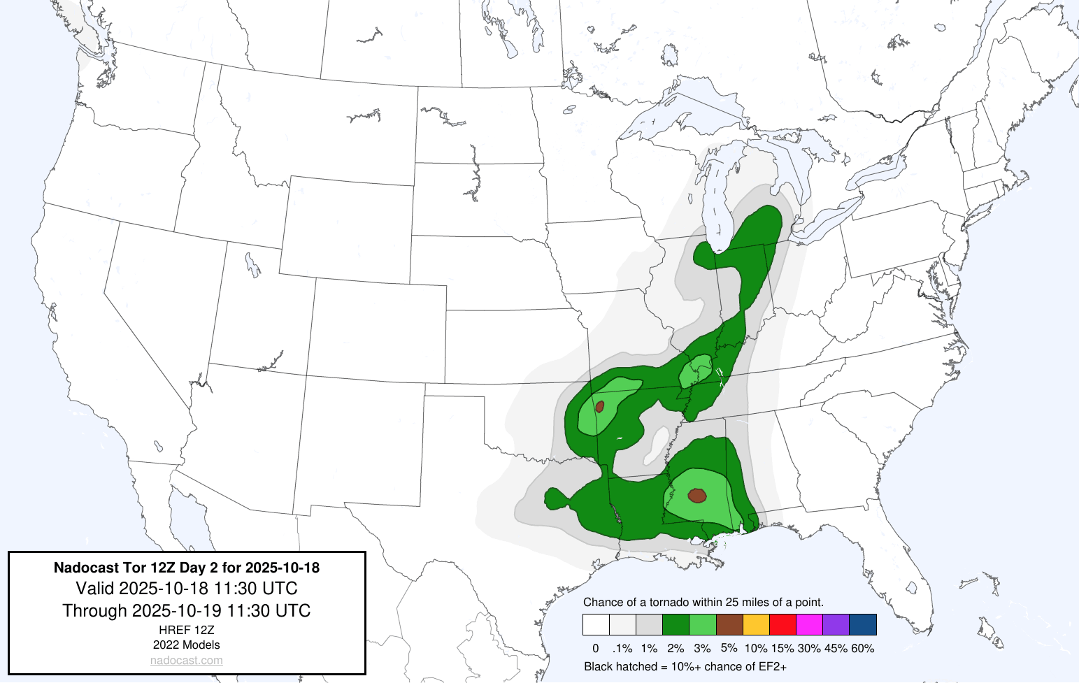
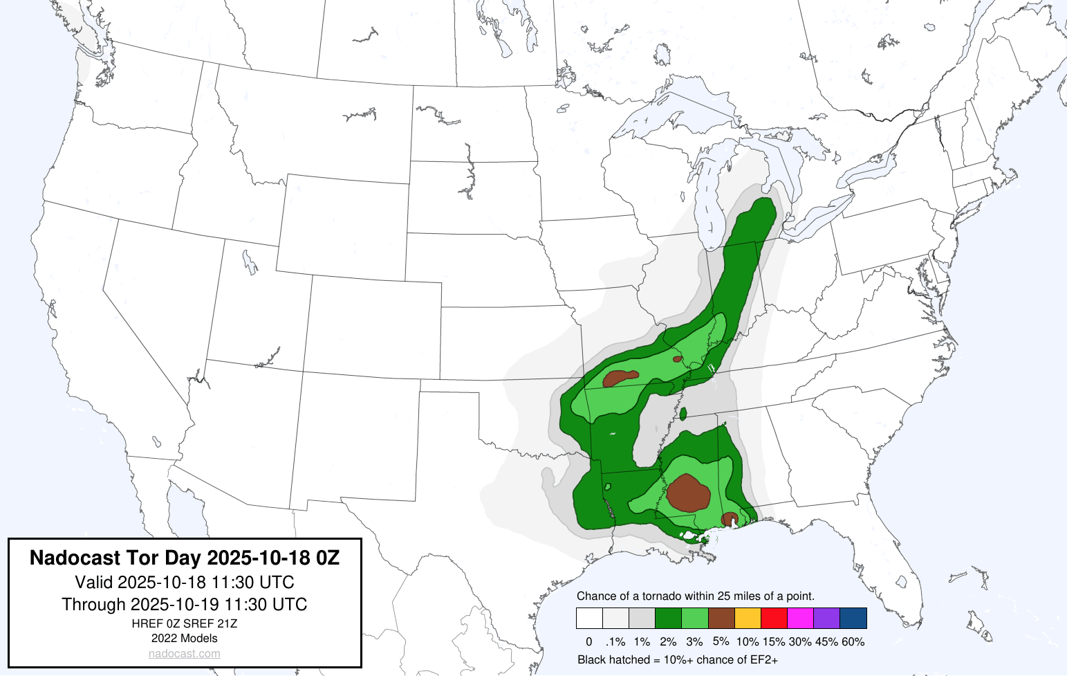
Nadocast
Nadocast was not writing off the area, but painted much higher probabilities further north and east, which made sense.
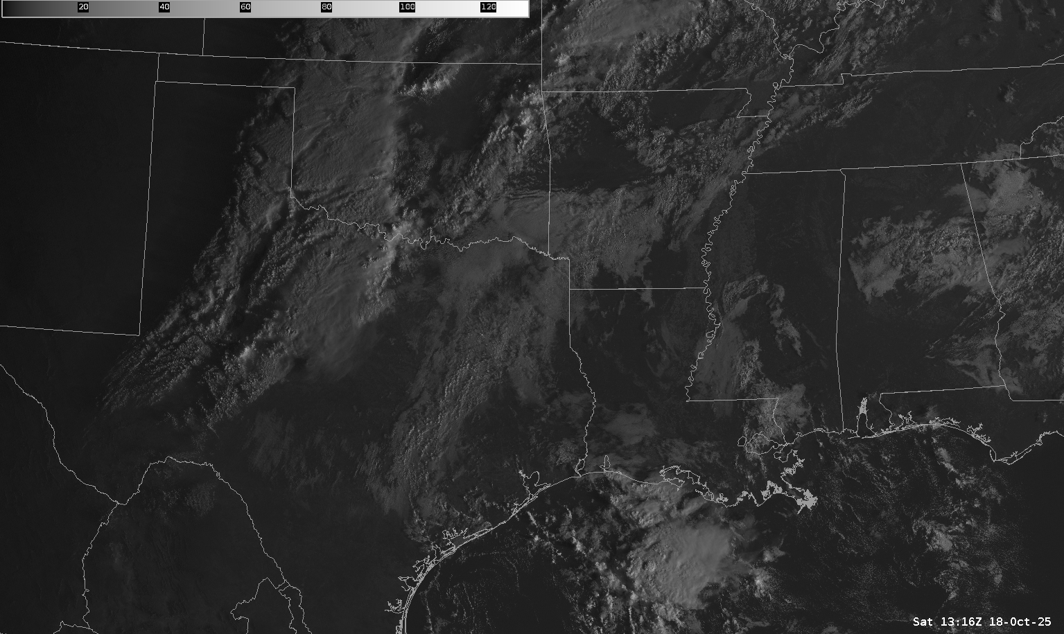
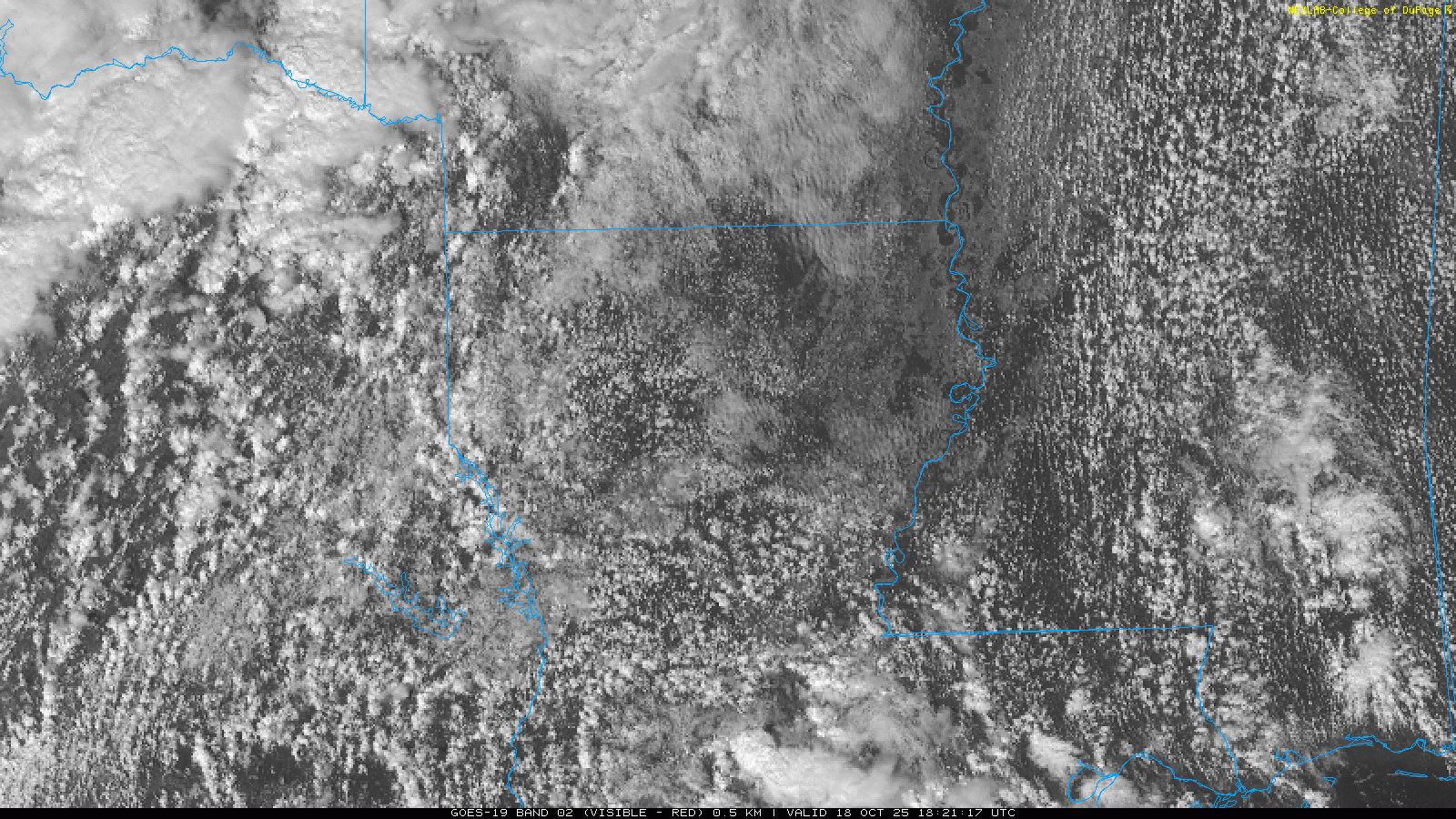
Morning Observed Soundings, Satellite and Water Vapor Loops
I woke up with the car already packed and ready to go. I just needed to hook up my laptop and head out. First, a quick forecast. Things seemed to be setting up a bit further east from where the models were showing the day before. Nevertheless, I decided to head out. I had some luck earlier this season near Clarksville and again near Durant in Bokchito Oklahoma. I would have hated to miss something because of a hesitancy to head another 100 miles east.
Departing Norman
Got a later start than I wanted to, but was southbound on I-35 by 9:45. Storms were ongoing, and it was raining hard when I left. Traffic on 35 was terrible and I bailed off pretty quick, heading down through Ada to Atoka where I stopped for gas.
18Z Shreveport Observed
The 18z/1pm balloon came in from Shreveport and it was quite interesting with a long hodograph and good low level lapse rates. Unfortunately too many competing storms.

Dropping South to Mount Pleasant
As I crossed into Texas it was more and more obvious that I’d need to keep getting south. Convection was really filling in near the Red River. Per visible satellite loop, I needed to be on the stuff down near I-20.
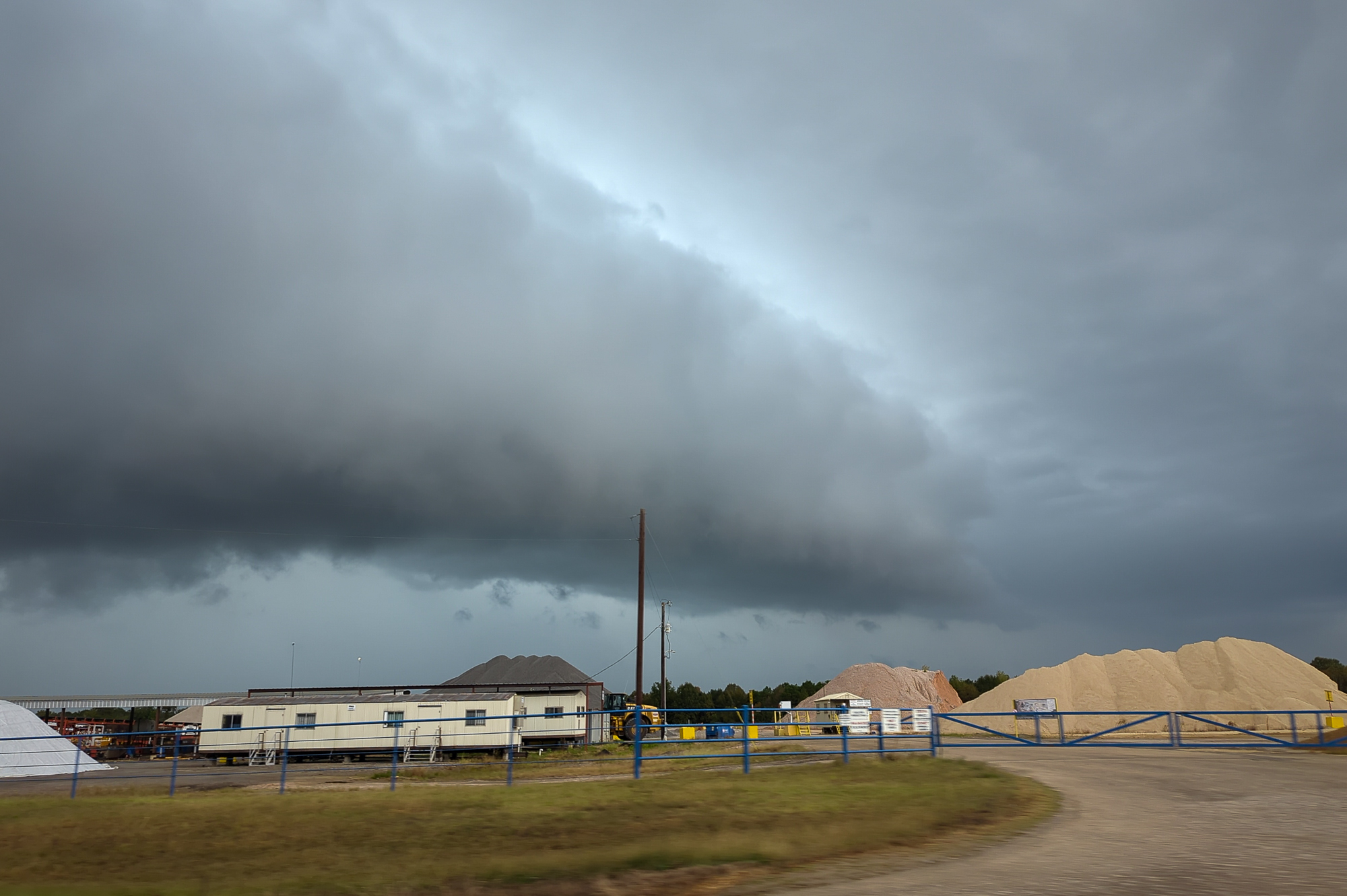
Headed southeast out of Paris to I-30 and Mount Pleasant where I stopped for lunch and to decide on my next move. A lot of beans up on radar, none of them looking dominant. The best looking storms on visible satellite were further south still. I dropped south on US271 through Longview and then southeast on Highway 149 to Carthage.

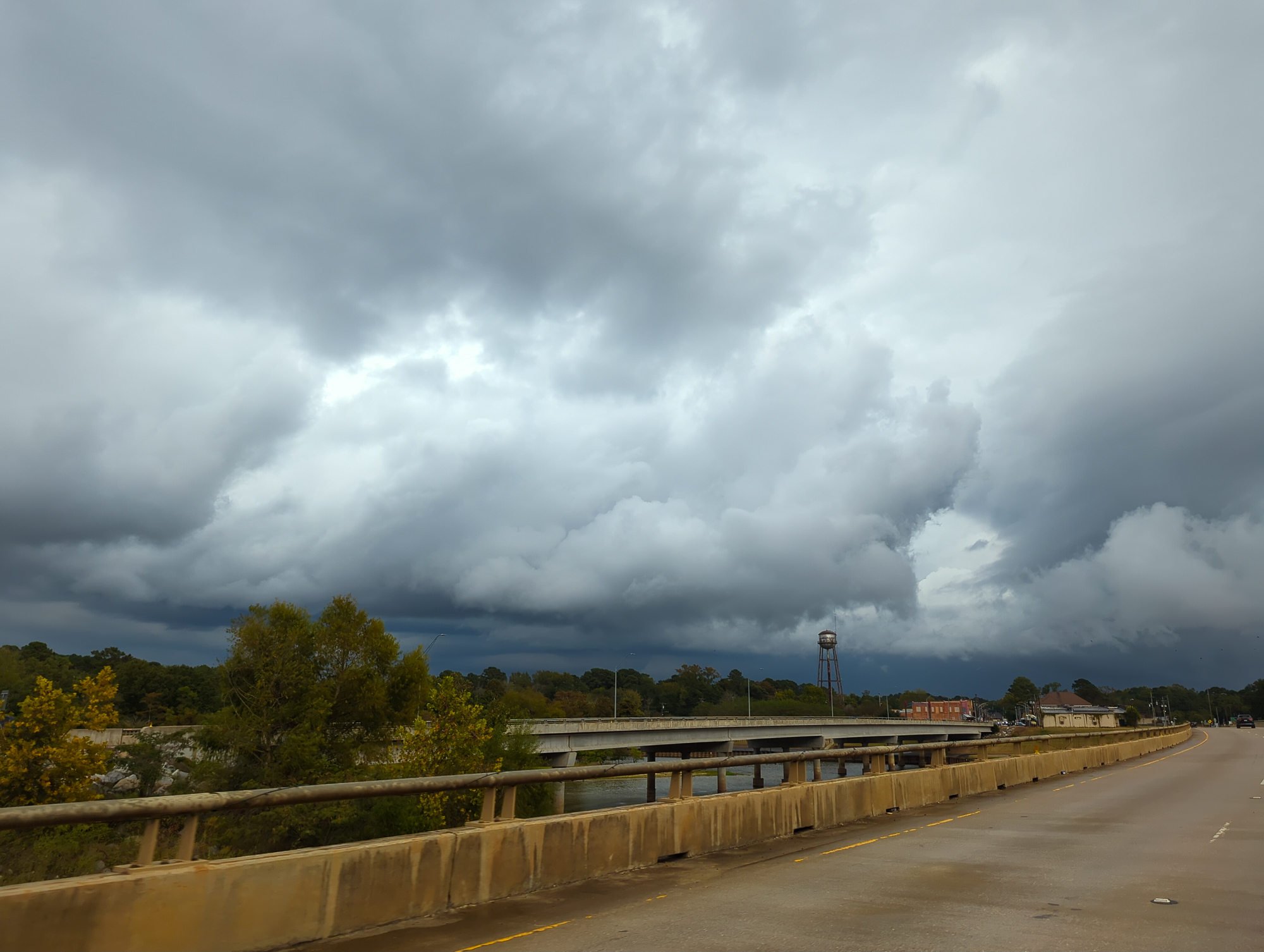
I’d position in front of a storm south of Carthage that would actually be severe warned. I’d follow it across the state line to Mansfield on US84 and then east to I-49.
Heading to Shreveport for Cajun Food and heading Home
As we reached I-49 it was time to make critical decisions. The storms were still messy with no real signs of intensification imminent. A cold outflow boundary was heading south through Shreveport. Typical October slop.

Hit up my favorite spot in Shreveport, Shane’s Seafood & BBQ and enjoyed some gumbo.

Headed from Shreveport back home, 5 hour drive. I arrived back in Norman a little before 1am. A long day with nothing much to show for it. Typical Sloptober chase.


