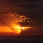
Storm Chase Details
Miles Logged: 377
States Chased: OK
Largest Hail Encountered: 1.50 in.
Severe Risks: SPC Outlooks
Severe Reports: Storm Reports
May 19th would prove to be a tough forecast and tough day to chase. It was the first chase day for Ashley after flying in the 18th from Nashville.
Forecast
No one area stuck out to me as a place to go. Veering wind profiles with shear mostly parallel to the initiating boundary would likely mean linear storms. Moisture return was sufficient, but we’d need to get some backed winds to get a tornado. Or, we’d need an area of enhanced mid-level winds. I missed the latter, as south central Kansas produced multiple photogenic tornadoes.
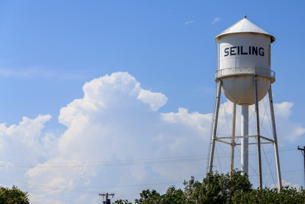
Ashley and I didn’t get the earliest start due to the fact I was still working on my Laptop. I had re-formatted the hard drive after the chase on May 17th. My target was Seiling when I left home and started my journey west.
Storms Firing
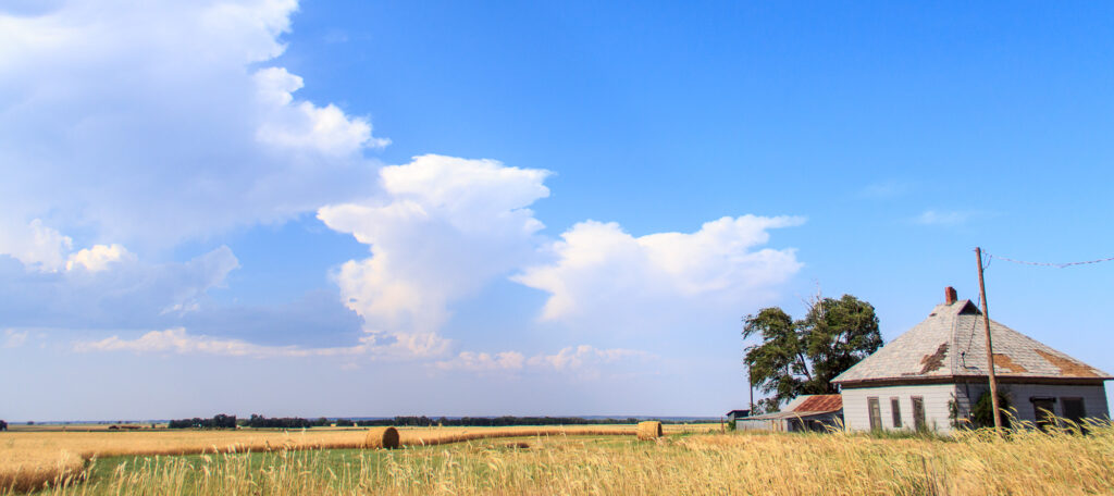
We arrived in Seiling around the time updrafts were finally getting organized. It seemed like the best updrafts were southwest of Woodward. I needed gas, so I filled up the tank in Seiling before drifting northwest towards the developing anvils.
We met up with JR Hehnly and we chased storms for the next several hours. While there was some separation from the updrafts, we had some supercellular storms. They very quickly grew upscale into a QLCS.
Elk City Storm
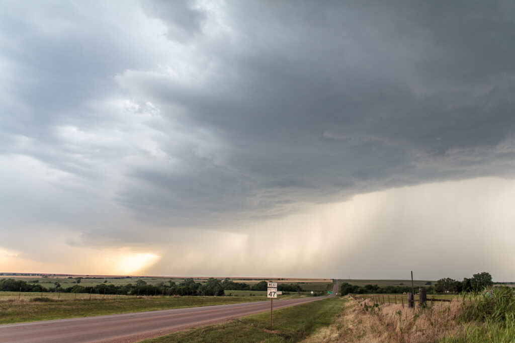
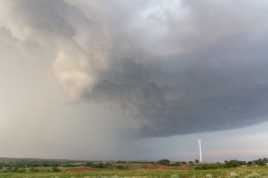
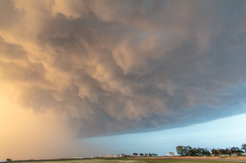
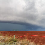
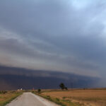
A storm managed to stay somewhat isolated down near Elk City, so we dropped south. The storm seemed to be pretty high based upon first approach. The storm would also pretty quickly line out over I-40 in Western Oklahoma.
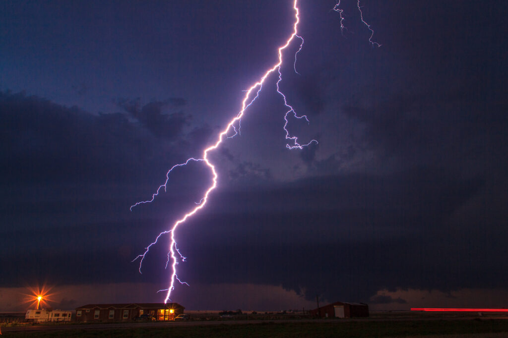
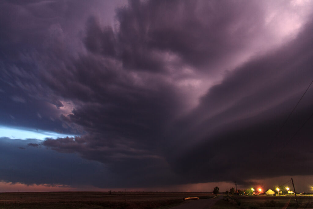
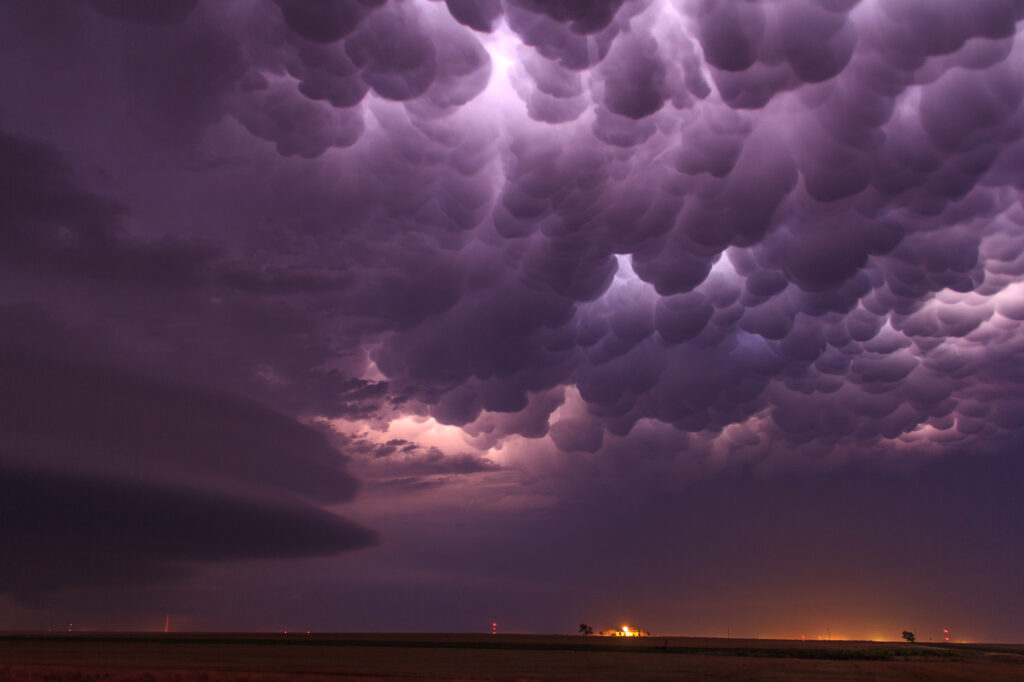
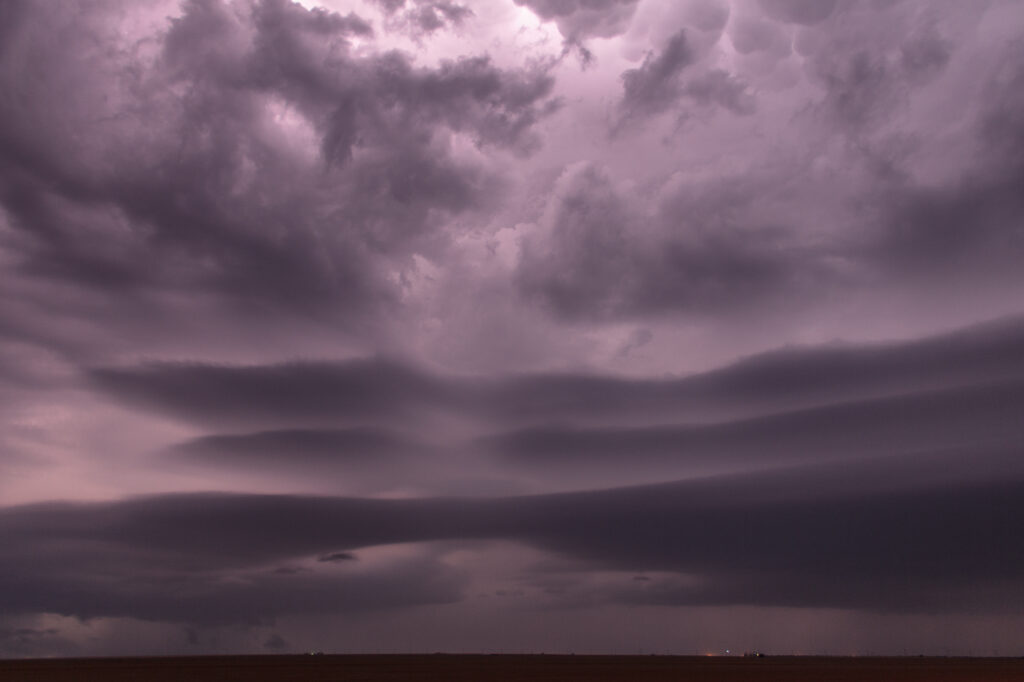
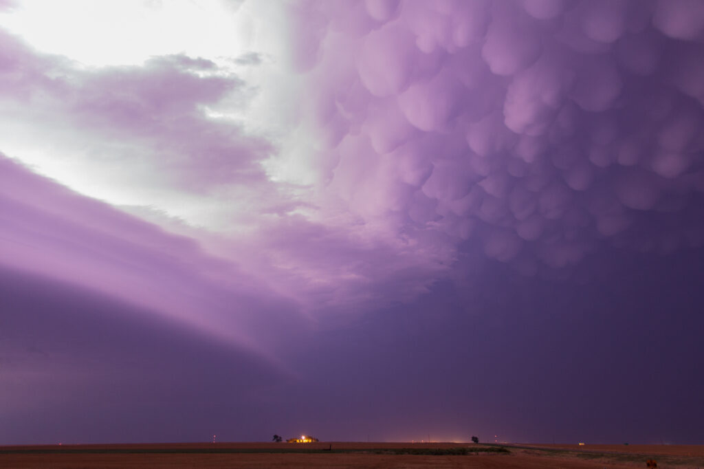
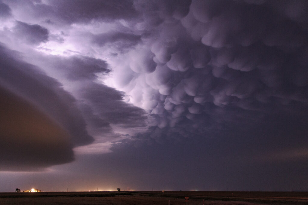
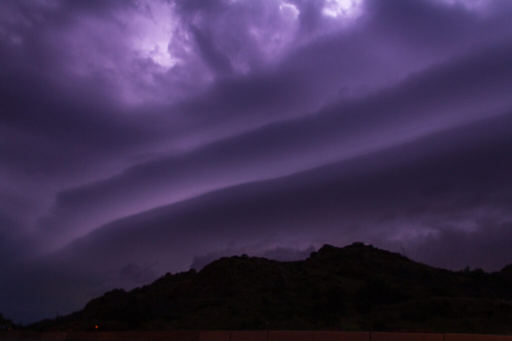
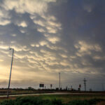
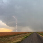
The structure of the storm would become increasingly more photogenic the darker it got. Ashley and I were treated to some amazing mammatus down near Hobart as well as some amazing cloud to ground lightning strikes.
We headed to Altus and then got a hotel room so we could witness the 2012 Annular Solar Eclipse near the Texas and New Mexico border at sunset the next day.
